Summiting the Flatiron (finally!)
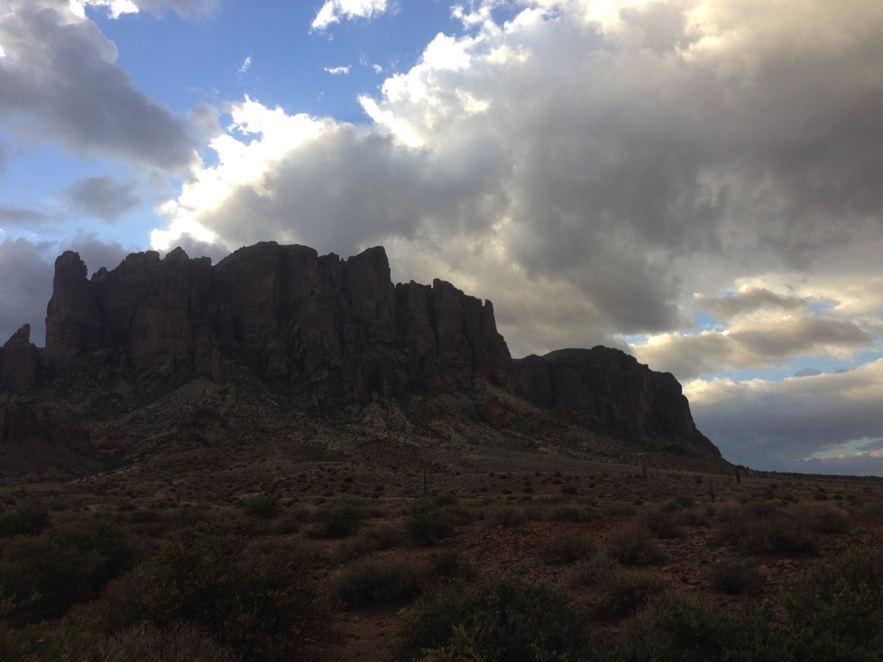
Sunday 10/4/15 was forecast to be relatively cool, not surpassing 100 degrees. It was overcast when I picked Camille up at 5, and sprinkling a bit in Mesa. By the time we reached the Crosscut Trailhead, the sky was beginning to lighten, and the rain had stopped. This was good, because the climb contains many stretches of steep, bare rock that would likely be too dangerous to ascend if slippery.
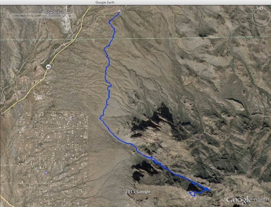
We were intent on reaching the summit, having climbed part way twice (thrice for me) before. We packed my stove, fuel, soups and water to boil. The first 2 miles are relatively flat, and passed quickly, to the intersection where we turn up the Siphon Draw trail.
Starting out in the morning, from C’s camera. No this is NOT Flatiron. These are baby buttes on the way. The Flatiron is behind these.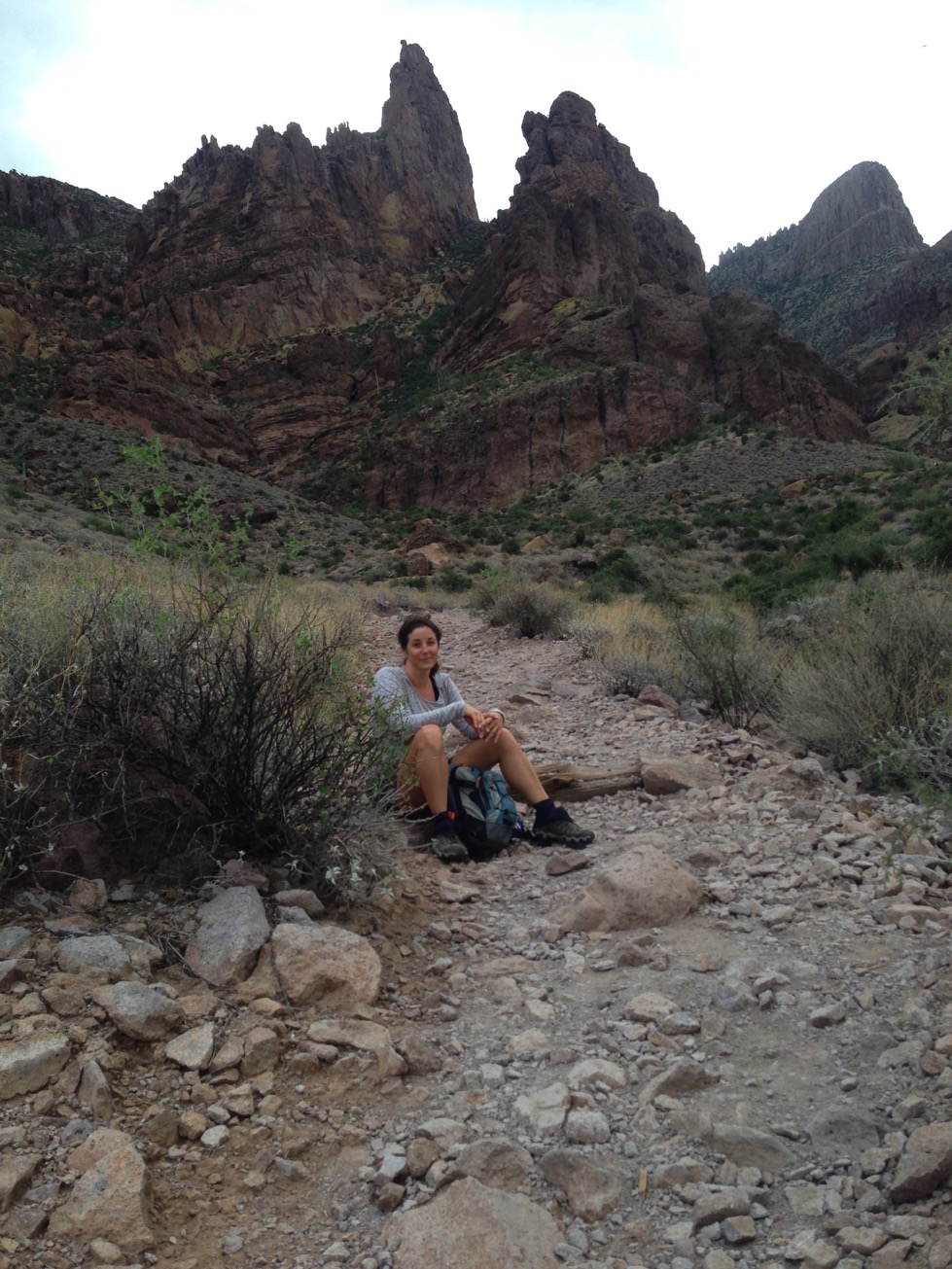
Partway up the increasing slope, C pauses to read texts from her daughters. In the upper right background, you can see the Flatiron - the destination.
The Google Earth view of the track below shows how we start with the 2 mile warmup walk heading south, then turn almost east to climb. The small loop at the south end of the hike was us walking around the perimeter of the Flatiron, admiring the view in every direction.
Here is a picture taken only part way up the very steep ascent. We are already as high as the sky, adding to my acrophobia.
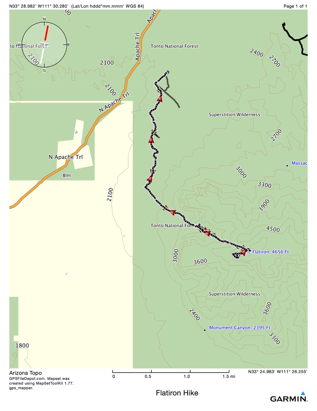
Up 2500’ in just over 2 miles. Not to mention back down!
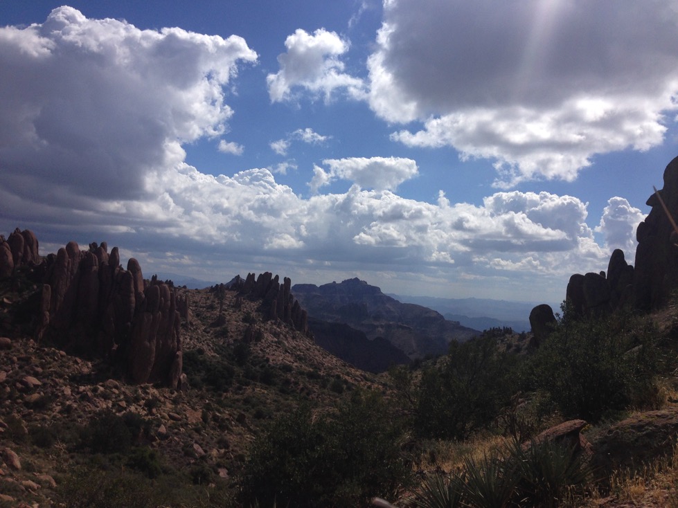
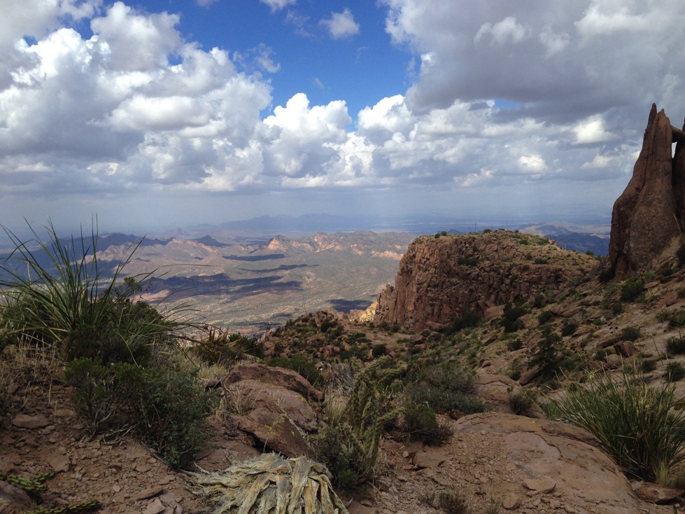
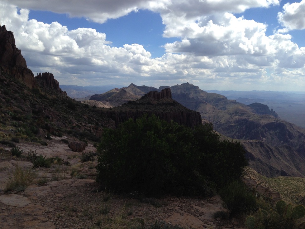
We stopped many times along the way to catch our breath and admire views like those above. Each time we stopped, we were higher, and had an even better view. It was amazing every time we turned to look west, and saw things from a different perspective.
Another nice shot from C looking down to the west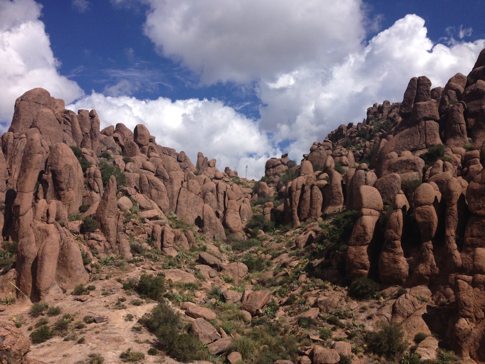
And then from the same spot, looking up to the east
There were many places where the track up was unclear. Usually, the track went up a pitch that didn’t appear to be climbable, but it was the only clear way up. Here is a video of probably the hardest part to ascend, and most certainly, the hardest spot to descend:
After we got past that spot, the climb continued. I led for a while and got us off track, but we bundu bashed across the ridge to the trail when we saw a chance. Then, up, up and more up.
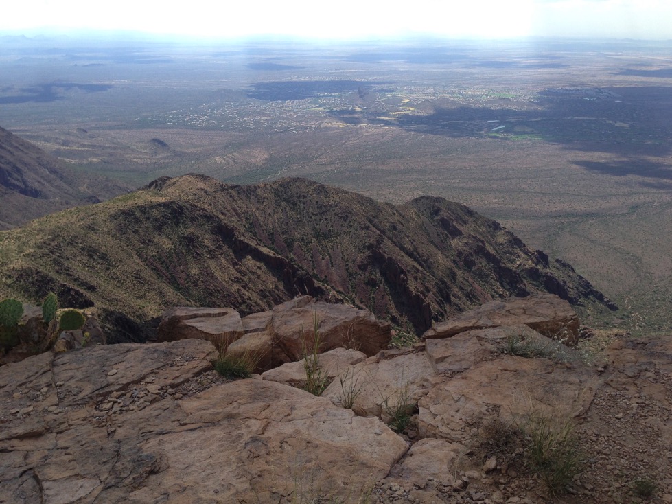
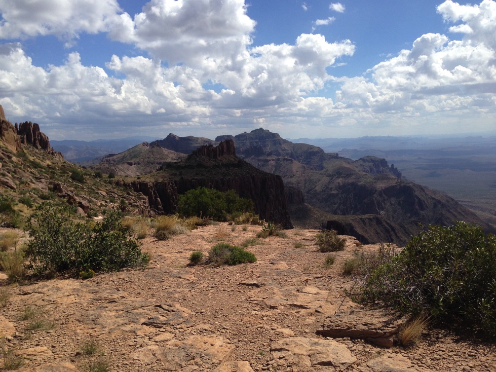
After reaching the level at the top, and finding a rock to sit on, we could see the ridge trail we plan to hike below us. It was just after 11.
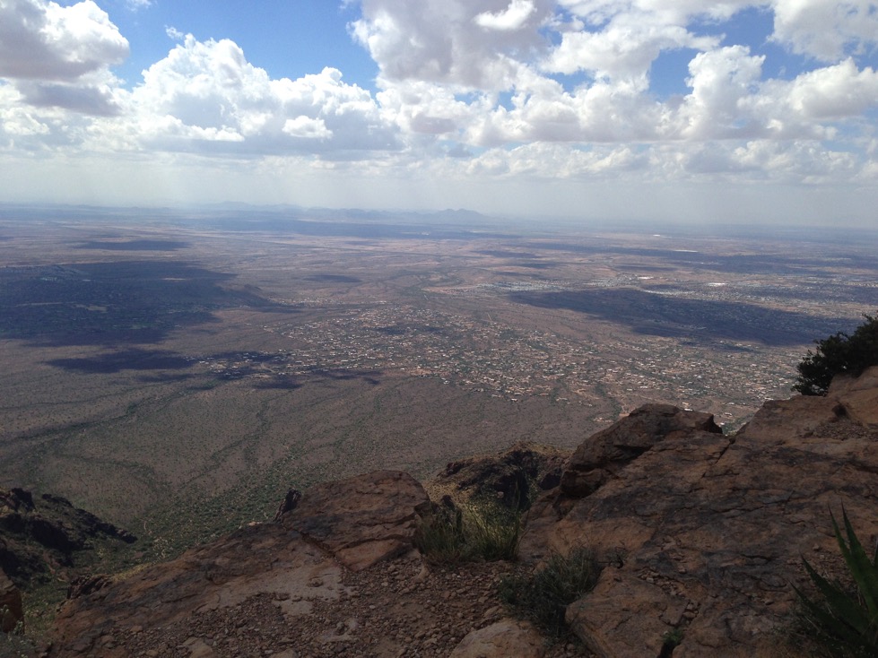
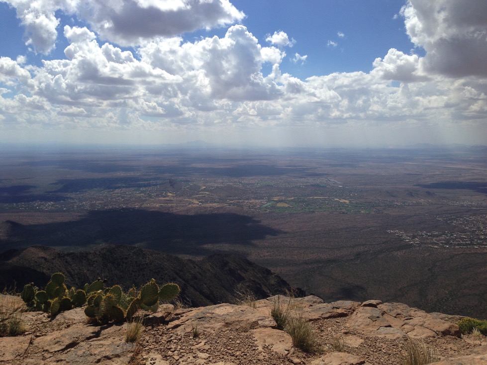
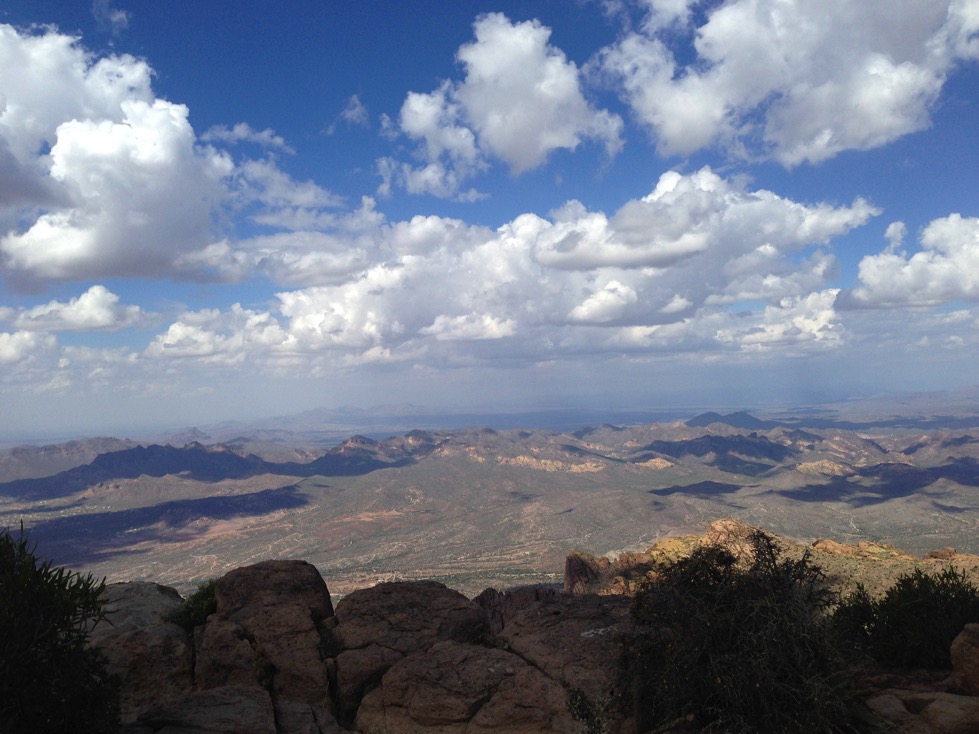
We had hiked for nearly 5 hours to reach this point. Neither of us had eaten since 5, and it was way too windy to light the stove here. Fortunately, C had brought some almonds, dried apples, apricots and some dates. We snacked for a while and looked around. As you can see, the view was pretty awesome.
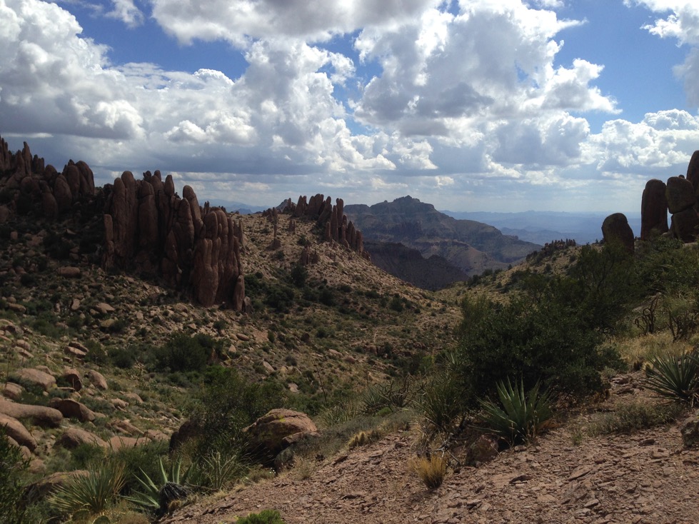
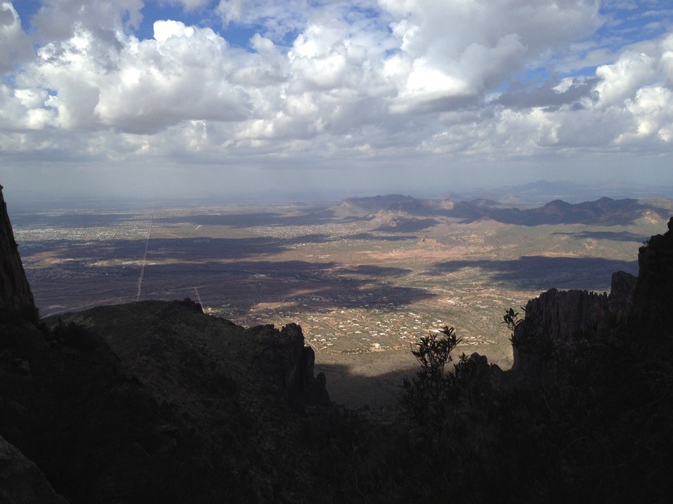
This shot is looking mostly eastward, toward the direction our ridge hike will take us.

At the top, the flatiron over C’s right shoulder.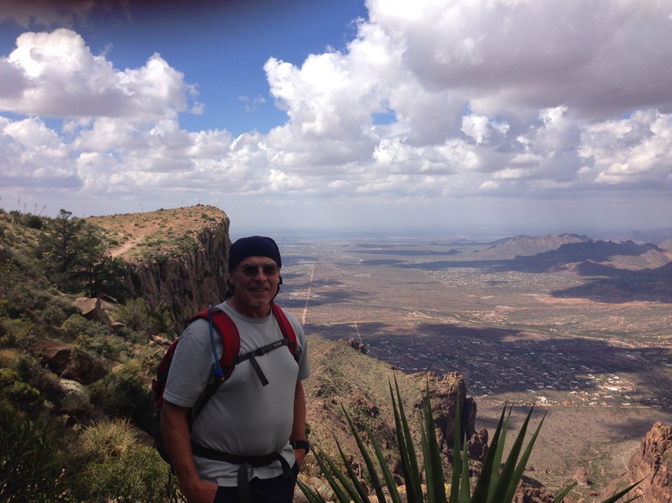
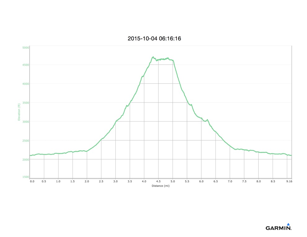
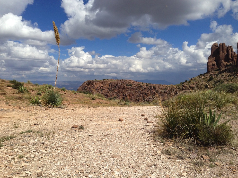
After about a half hour, we descended back to the trail leading up to the Flatiron plateau, and walked around its perimeter taking photos. We decided 10 feet was close enough to the edge. As you can see in the graph below, we had climbed about 2500’ and the flatiron edges go nearly straight down that far.
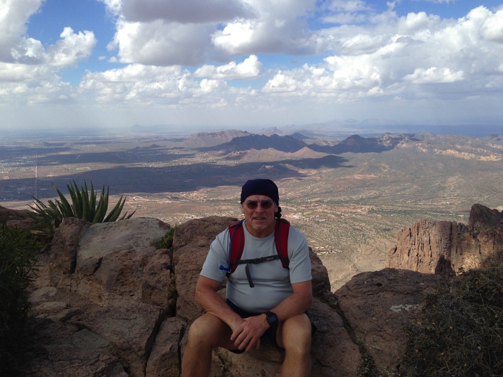
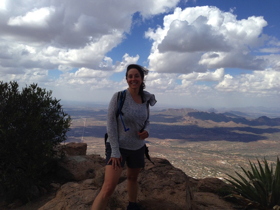
On the Flatiron summit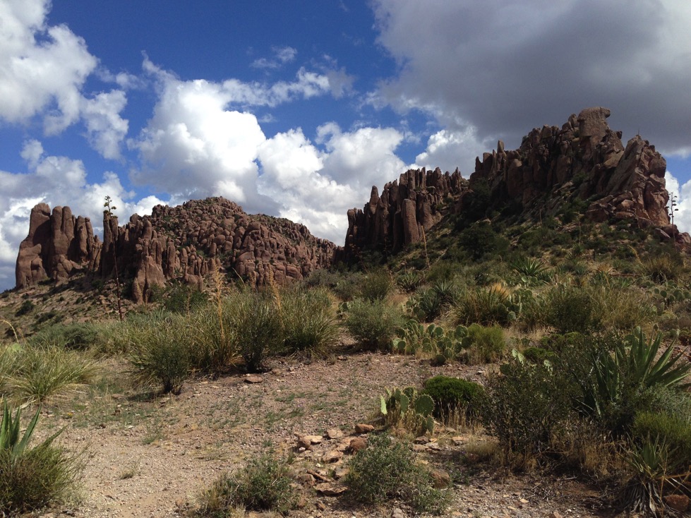
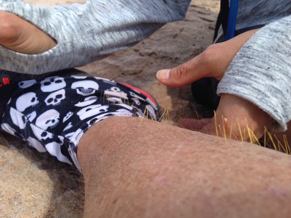
Of course, I walked right into a prickly pear while taking photos and trying not to tip over the edge. So Camille performed surgery.
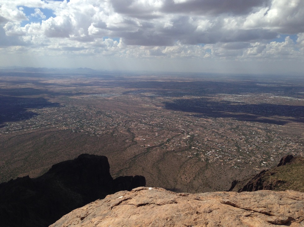
Post-op, we walked over near the edge facing NW, where we could see Phoenix and the Camelback in the distance.
Posing, we each took couple photos.
After we took these, we sat on the edge admiring the view. Camille asked what time it was: 12:09. She said “I have to be in south Chandler by 4.” Well, you aren’t going to make it sez I.” It had taken us about 5 and a half hours to climb up here, and it was nearly an hour drive once back at the car. Well, that caused a minor panic, and we headed back. Of course being older and stiffer and scareder also made me slower. Camille took off, and was well below me. But eventually her adrenalin waned and she waited for me to catch up. We got off track a couple of times when I led, as I tend to just bull straight down without concern for where the trail lay. But, we climbed back to the trail, and made a very good descent. In just over 3 hours we were back to the car, and shortly thereafter heading to our respective census meetings.
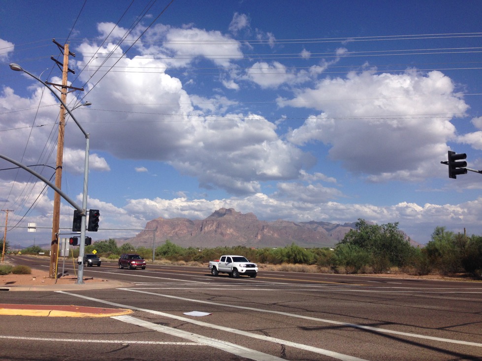
Camille took this shot to show what the Flatiron looks like from Apache Junction, west of the mountains. It is the very darkest pillar of rock with a horizontal white band halfway up, just above the rear seat of the pickup truck cab. Let’s go climb that! Oh, we just did? Cool!
I remember feeling like it was very cool to be climbing up through the narrow pitches of the canyon, holding on, climbing hand over hand, and not worrying about the descent. It was really cool! And when it did come time to descend, I just focused on the next step and there was no fear except when my footing slipped. I wasn’t fast, but I wasn’t terrified either.
And now, I can honestly say that I’ve climbed my first mountain. Up, and down.